


(Pulse aquí para ir al sitio de
%20012.jpg)
#187


#188


#189


#190

#191

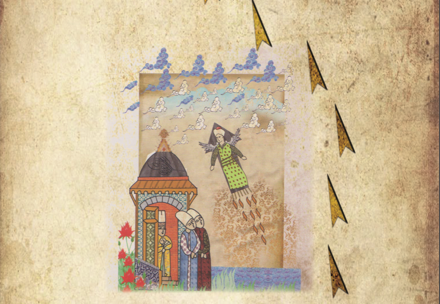
Palenque relief. Accession of Chan-Bahlum
#192

#193

#194


#195


#197

#198

#199

#200

#201

#202

#203

#204


#205

#206

#207

#208


#210

#211

#212

#213

#214

#215

Plan de Quito Capitale de la Province de même nom dans le Royaume de Pérou ... 1751
#216

#217


A View General of the City de Havana of Amerique. Vue
Generalle de la Ville de Havanne en Amerique. 1780
#218

#219

#220

#221

#222

#223

#224

#225

#226

#227

#228

#229

#230

#231
 |
#232

#233

#234

#235

#236

#237

#238


#239

#240

#241

#242

#243


#244

#245

#246

#247

#248

#249

#250

#251

#252

#253

#254

#255


#256

#257

#258

#259

#260

#261

#262

#263

#264

#265


#266

#267


The Electric Tower From The Pan-American Exposition In Buffalo, New York in 1901
▫️The tower was demolished after the fair ended but
▫️The tower was demolished after the fair ended but
a later tower was built based on the design and still stands today.

Christ the Savior Cathedral in Borki. Built 1888-1891 as part of a memorial complex by Alexander III in honor of his family being saved from a train crash at the site in 1888. Architect was Robert Marfield. Destroyed during World War 2


.jpg)

De como antes había ENERGÍA LIBRE usando éter, mercurio y la realidad de la física en un plano terrestre, CERRADO POR UN DOMO, entorno eléctrico accesible. La arquitectura antigua lo demuestra. Sin embargo, las edificaciones fueron derribadas de forma intencional para RESETEAR Y REESCRIBIR LA HISTORIA. Y ahora lo que tienes es una tarifa elevada de luz con un sistema de esclavitud creado por la élite para estafa mundial.


Principal High Buildings of the Old World (1884) Here’s a fascinating diagram made by George Cram, showing the 78 tallest important and famous buildings in the world during 1884.
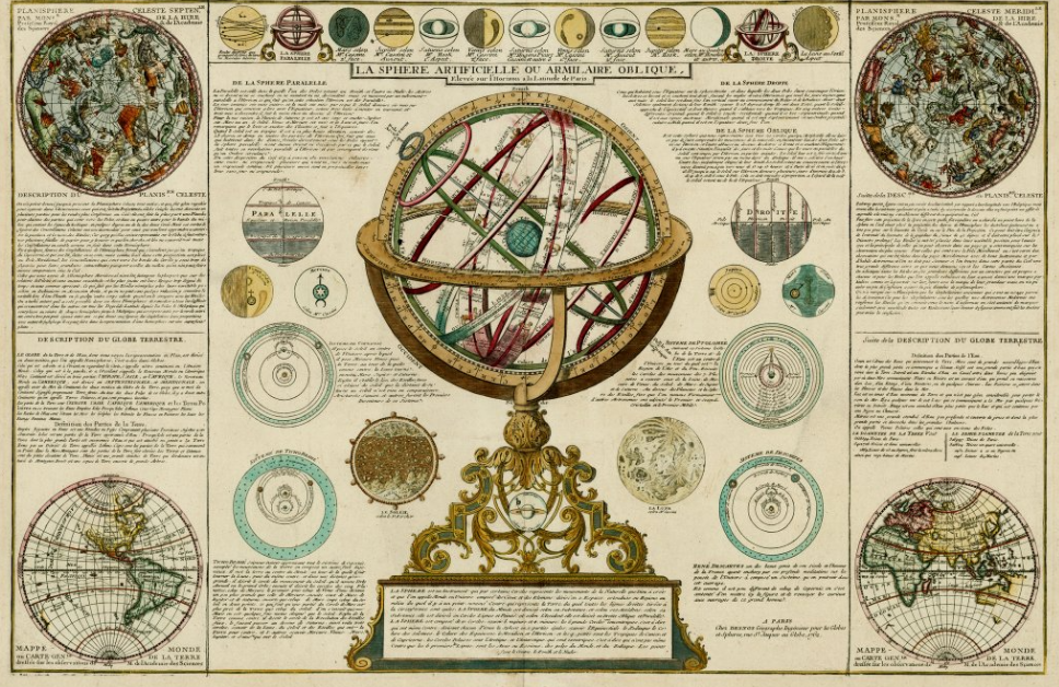
Map of the artificial sphere or oblique armilar raised above the Horizon at the latitude of Paris according to Gabriel Philippe de La Hire and updated by Louis-Charles Desnos, published in 1781.
"Dedicated to Monsieur Jean Paul Bignon [...]".


